
UT Dallas
Instructor of Record
- GISC 2307: Digital Earth
Teaching Assistant
- GEOG 3331: Smart & Sustainable Cities
- GISC 4384: Health & Environmental GIS
- GEOS 2302: The Global Environment
- GISC 6336: Fundamentals of Sustainability
The University of Texas at Dallas
Doctoral Candidate in Geospatial Information Sciences researching natural hazards, hydrology, remote sensing, and GeoAI to advance climate resilience and sustainable land-use decisions.

About
I am a doctoral candidate at The University of Texas at Dallas. I hold an MS in Geography & the Environment from Texas Tech University, and my work combines radar and satellite remote sensing with machine learning to study natural hazards, land cover dynamics, hydrology, and climate trends.
Before my PhD, I worked on climate and health projects with the WHO and the Bangladesh Center for Communication Programs under Johns Hopkins, and in the remote sensing division at the Ministry of Water Resources, Bangladesh.
Research Interests
Tropical cyclones, floods, and community vulnerability assessment using change-detection.
Urban expansion, LULC change, and land surface temperature in rapidly growing cities.
Spatiotemporal climate trends, precipitation forecasting, and groundwater quality assessment.
Sentinel, Landsat, Kompsat imagery; Google Earth Engine workflows at regional scale.
Fire behavior, recovery dynamics, and risk modeling in arid and semi-arid landscapes.
Machine-learning techniques applied to geospatial problems for prediction and pattern discovery.
Education
The University of Texas at Dallas
Texas Tech University
Bangladesh University of Professionals
Bangladesh University of Professionals
Publications

Sonet, M. S., & Reygadas, Y. (2025). Unveiling four decades of spatiotemporal climate trends in Texas (1981–2023). Journal of Hydrology: Regional Studies, 60, 102539.

Sonet, M. S., Hasan, M. Y., Kafy, A. A., & Shobnom, N. (2025). Spatiotemporal analysis of urban expansion, land use dynamics, and thermal characteristics in a rapidly growing megacity using remote sensing and machine learning techniques. Theoretical and Applied Climatology, 156(2), 79.

Sonet, M. S., Hasan, M. Y., Chakma, S., & Al Kafy, A. (2024). Assessing tropical cyclone impacts in coastal Bangladesh: a change detection analysis on cyclone Bulbul using geospatial analysis and remote sensing techniques. International Journal of Disaster Risk Reduction, 112, 104726.

Altuwaijri, H. A., …, Sonet, M. S. (2025). Biophysical parameters and land surface temperature dynamics in arid urban environments: A comprehensive machine learning approach. Environmental Earth Sciences, 84, 434.

Hasan, M. Y., …, Sonet, M. S., et al. (2025). Hydrogeochemical characterization and human health risk assessment for heavy-metal contamination in coastal aquifers: a case study in Satkhira District, Bangladesh. Science of the Total Environment.
Sonet, M. S., Hasan, M. Y., Kafy, A. A., & Altuwaijri, H. A. (2026). Machine learning-enhanced precipitation forecasting in arid regions: advancing climate-modelling techniques in Lubbock, Texas. Theoretical & Applied Climatology, 157, 308.
MS Sonet. Geospatial big data for environmental resilience: integrating synthetic aperture radar and optical data for wildfire assessment in transitional biomes. AAG Annual Meeting 2026.
MS Sonet. Forecasting rainfall anomalies in arid landscapes: a machine-learning approach for enhanced environmental management in Lubbock, Texas. AAG Annual Meeting 2024.
MS Sonet, S. Chakma. Impact assessment of community vulnerability in Cyclone Bulbul and analyzing change-detection impacts by geospatial techniques. AAG Annual Meeting 2023.
N. Jahan, MS Sonet, A. Nayan. Natural hazards-triggered early marriage: a case study on Kajipur Upazilla, Sirajganj. Chittagong University Research & Higher Study Society, 2022.
News Mentions
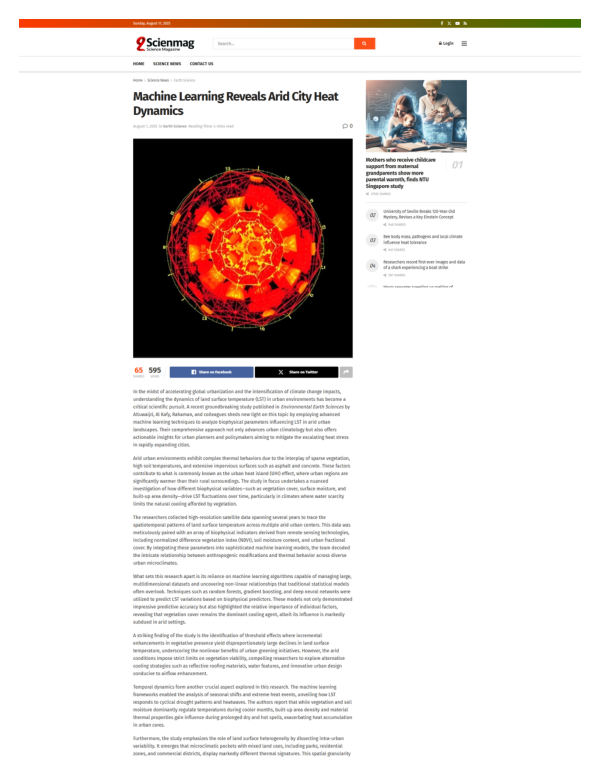 Sciemag: “Machine Learning Reveals Arid City Heat Dynamics”
News article on Sciemag covering the Biophysical / LST paper in Environmental Earth Sciences.
 TWRI: Research roundup: recent water research from Texas universities
Texas Water Resources Institute roundup featuring the Texas climate-trends study.
Professional Experience
The University of Texas at Dallas
Geospatial Information Sciences, UT Dallas
Department of Geosciences, Texas Tech University
Department of Geosciences, Texas Tech University
Bangladesh Center for Communication Programs | Dhaka, Bangladesh
Project with Johns Hopkins Center for Communication Programs and World Health Organization
Ministry of Water Resources | CEGIS, Bangladesh
Teaching
Instructor of Record
Teaching Assistant
Teaching Assistant
Awards & Certifications
More from Shahriar
Service
Skills
Contact
I welcome conversations on research, teaching, and collaborations in geospatial sciences, natural hazards, hydrology, and GeoAI. The fastest way to reach me is by email.